Specialists of the National Geological Survey have completed an introductory course on the Micromine program
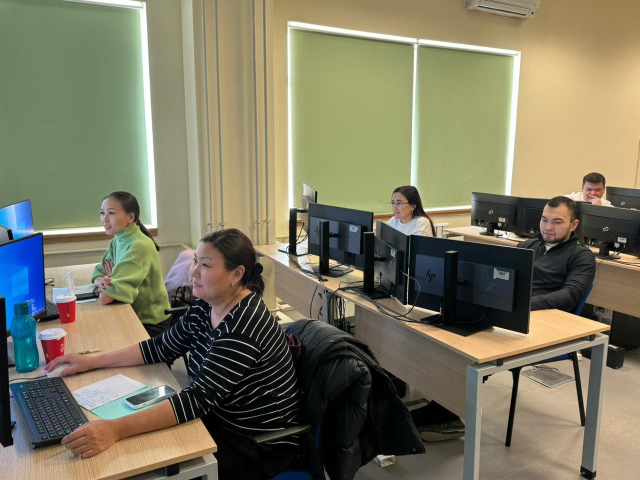
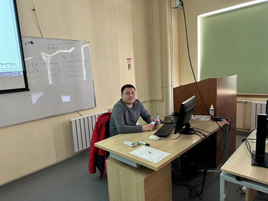
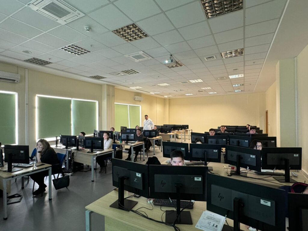
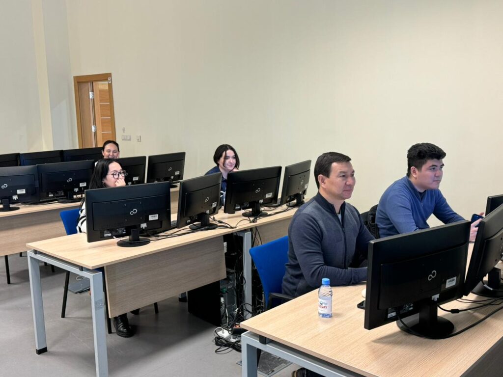
From January 22 to 26, 18 employees of JSC National Geological Survey and 2 employees of the Committee of Geology successfully completed an introductory course from Micromine Central Asia. The training program covered a wide range of topics aimed at improving competence in working with the Micromine program and the effective use of modern methods of geological analysis.
 The course included the following main topics:
Introduction to the interface of the Micromine program.
Working with graphic elements such as dots and lines.
The study of internal data types and file structures.
Import of tabular data and analytical verification of the database.
Creation and visualization of data in a geological database.
Input of additional data into the database and visual verification on sections and plans.
Binding of raster images of geological plans and sections, visualization in a three-dimensional environment.
Creating sections, including creating sections from a string file and importing vector data.
Import and triangulation of the topographic base.
Visualization of test data in a three-dimensional environment with a topographic surface.
Methods of compositing and calculation of composite intervals by content (GKZ).
Interpretation of the geological structure of the deposit on sections and plans.
Wireframe modeling of ore bodies in a three-dimensional environment.
Creation of three-dimensional coordinates of the sampling intervals.
Volume estimation and quick inventory estimation using wireframe models.
.
“This course provided participants with the opportunity to update and expand their knowledge. Such trainings allow you to acquire the necessary skills for daily work,” said Nurgul Makhanova, Chief Manager of the Unified Cadastre Department of the State Subsoil Fund.